Footpath and river under the Chiltern Main Line
Introduction
The photograph on this page of Footpath and river under the Chiltern Main Line by Ian Harrison as part of the Geograph project.
The Geograph project started in 2005 with the aim of publishing, organising and preserving representative images for every square kilometre of Great Britain, Ireland and the Isle of Man.

There are currently over 7.5m images from over 14,400 individuals and you can help contribute to the project by visiting https://www.geograph.org.uk
Footpath and river under the Chiltern Main Line
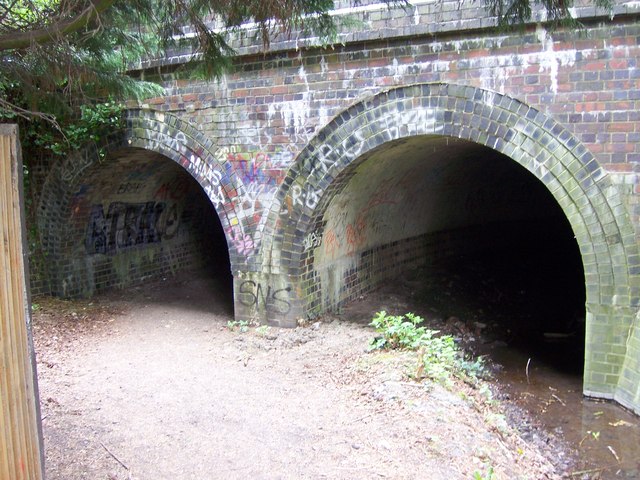
Image: © Ian Harrison Taken: 18 Apr 2011
The Hillingdon Trail footpath and River Pinn pass under the Chiltern Main Line in Ickenham. The footpath goes through the left arch and the river flows through the right. On the other side, the footpath runs through Ruislip Golf Course.
Images are licensed for reuse under creativecommons.org/licenses/by-sa/2.0
Image Location
Latitude
51.570994
Longitude
-0.44292