View across Wash Farm
Introduction
The photograph on this page of View across Wash Farm by Derek Harper as part of the Geograph project.
The Geograph project started in 2005 with the aim of publishing, organising and preserving representative images for every square kilometre of Great Britain, Ireland and the Isle of Man.

There are currently over 7.5m images from over 14,400 individuals and you can help contribute to the project by visiting https://www.geograph.org.uk
View across Wash Farm
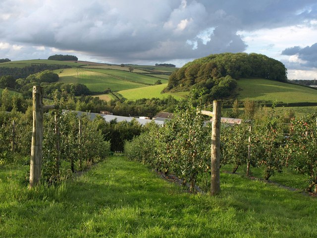
Image: © Derek Harper Taken: 25 Aug 2011
Looking past an orchard and over Riverford's Field Kitchen and other buildings, from the lane west of Bumpston Cross, with Tor Hill Plantation on the hill opposite.
Images are licensed for reuse under creativecommons.org/licenses/by-sa/2.0
Image Location
Latitude
50.476334
Longitude
-3.737631