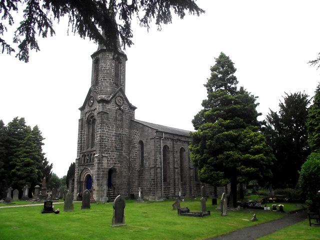
St John's Church, Buglawton- South and East elevations
Introduction
The photograph on this page of St John's Church, Buglawton- South and East elevations by Jonathan Kington as part of the Geograph project.
The Geograph project started in 2005 with the aim of publishing, organising and preserving representative images for every square kilometre of Great Britain, Ireland and the Isle of Man.
There are currently over 7.5m images from over 14,400 individuals and you can help contribute to the project by visiting https://www.geograph.org.uk

Image: © Jonathan Kington Taken: 29 Aug 2011
Taken from the south-east corner of the churchyard, for a comparison see Francis Frith's picture taken in 1898: http://www.francisfrith.com/congleton/photos/st-johns-church-buglawton-1898_42170/ . The trees have grown and the ivy has been removed from the walls, but very little has changed. St John’s, or St John the Evangelist’s, Church was the first of several new churches to be built in the borough of Congleton, originally as a ‘district church’ within the Parish of Astbury. The church was built on land gifted by a Mr Thomas Chapman of the Lowe after being petitioned by the first Vicar of Buglawton, the Reverend Edward Wilson. It was built in the pseudo-Norman style and cost £2,286; the money was raised by voluntary public subscription and a grant from the Diocesan Church Building Society. St John’s was consecrated on the 13th October 1840, the procession consisting of the Bishop and the Town Corporation was preceded by a group of Chartists and Socialists carrying a black flag and the Death’s Head and crossed bones! Historical information from The History of Congleton by W. B. Stephens, Congleton History Society: page 219 ( http://tinyurl.com/43cevt6 ).

