Lion's Lane leading west from Knowles Lane
Introduction
The photograph on this page of Lion's Lane leading west from Knowles Lane by Shazz as part of the Geograph project.
The Geograph project started in 2005 with the aim of publishing, organising and preserving representative images for every square kilometre of Great Britain, Ireland and the Isle of Man.

There are currently over 7.5m images from over 14,400 individuals and you can help contribute to the project by visiting https://www.geograph.org.uk
Lion's Lane leading west from Knowles Lane
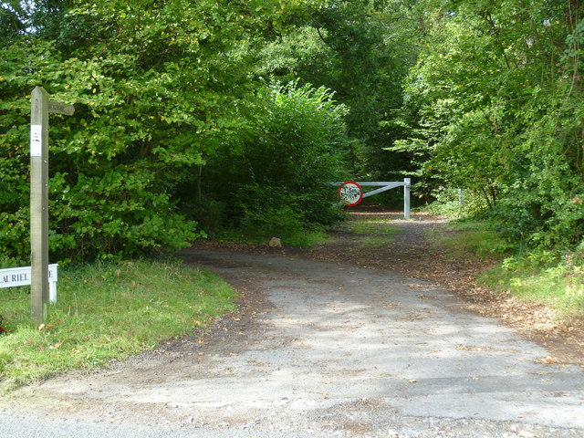
Image: © Shazz Taken: 29 Aug 2011
An earlier submission is at http://www.geograph.org.uk/photo/243051 taken before the barrier and width restriction were in place.
Images are licensed for reuse under creativecommons.org/licenses/by-sa/2.0
Image Location


Leaflet Map data © OpenStreetMap
Latitude
51.125159
Longitude
-0.491683