Muddy tracks near Tyryet
Introduction
The photograph on this page of Muddy tracks near Tyryet by Bill Boaden as part of the Geograph project.
The Geograph project started in 2005 with the aim of publishing, organising and preserving representative images for every square kilometre of Great Britain, Ireland and the Isle of Man.

There are currently over 7.5m images from over 14,400 individuals and you can help contribute to the project by visiting https://www.geograph.org.uk
Muddy tracks near Tyryet
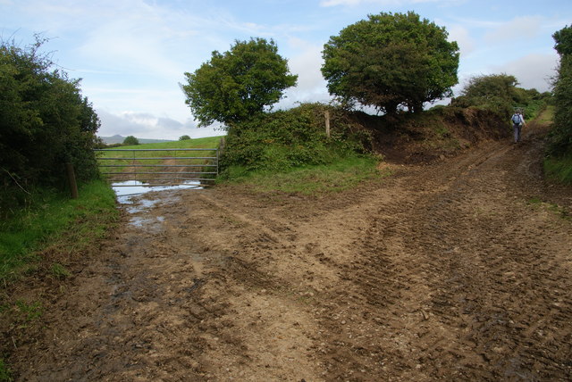
Image: © Bill Boaden Taken: 22 Aug 2011
The route to the right runs above the Gwaun Valley to Pontypridd (not the town).
Images are licensed for reuse under creativecommons.org/licenses/by-sa/2.0
Image Location
Latitude
51.962399
Longitude
-4.867798