Crossroads
Introduction
The photograph on this page of Crossroads by Mary and Angus Hogg as part of the Geograph project.
The Geograph project started in 2005 with the aim of publishing, organising and preserving representative images for every square kilometre of Great Britain, Ireland and the Isle of Man.

There are currently over 7.5m images from over 14,400 individuals and you can help contribute to the project by visiting https://www.geograph.org.uk
Crossroads
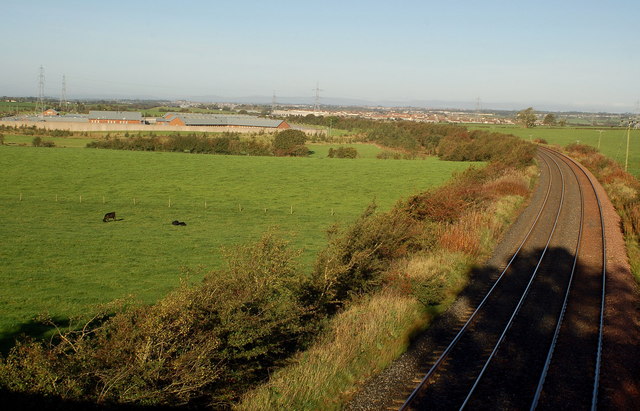
Image: © Mary and Angus Hogg Taken: 10 Oct 2006
Just north of Crossroads, the main Kilmarnock to Carlisle railway passes under a bridge. HM Bowhouse Prison in left foreground.
Images are licensed for reuse under creativecommons.org/licenses/by-sa/2.0
Image Location
Latitude
55.580208
Longitude
-4.420764