A4117 approaching Cleehill
Introduction
The photograph on this page of A4117 approaching Cleehill by Peter Whatley as part of the Geograph project.
The Geograph project started in 2005 with the aim of publishing, organising and preserving representative images for every square kilometre of Great Britain, Ireland and the Isle of Man.

There are currently over 7.5m images from over 14,400 individuals and you can help contribute to the project by visiting https://www.geograph.org.uk
A4117 approaching Cleehill
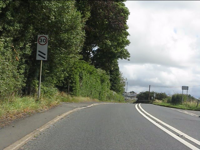
Image: © Peter Whatley Taken: 16 Aug 2011
The sign indicates 200 yards to a 30mph limit.
Images are licensed for reuse under creativecommons.org/licenses/by-sa/2.0
Image Location
Latitude
52.375982
Longitude
-2.60634