The road to nowhere
Introduction
The photograph on this page of The road to nowhere by Gordon Hatton as part of the Geograph project.
The Geograph project started in 2005 with the aim of publishing, organising and preserving representative images for every square kilometre of Great Britain, Ireland and the Isle of Man.

There are currently over 7.5m images from over 14,400 individuals and you can help contribute to the project by visiting https://www.geograph.org.uk
The road to nowhere
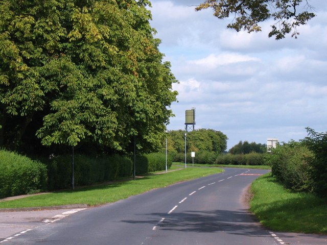
Image: © Gordon Hatton Taken: 20 Aug 2011
Not quite the road to nowhere as this road does go as far as the entrance to the Army helicopter base at Dishforth airfield, but before 1941 this was the A167 from Boroughbridge to Dishforth, the construction of the airfield permanently closing the road a few hundred metres further on.
Images are licensed for reuse under creativecommons.org/licenses/by-sa/2.0
Image Location
Latitude
54.134912
Longitude
-1.406751