Thames Path and Thames Cycle Route in Thamesmead
Introduction
The photograph on this page of Thames Path and Thames Cycle Route in Thamesmead by David Anstiss as part of the Geograph project.
The Geograph project started in 2005 with the aim of publishing, organising and preserving representative images for every square kilometre of Great Britain, Ireland and the Isle of Man.

There are currently over 7.5m images from over 14,400 individuals and you can help contribute to the project by visiting https://www.geograph.org.uk
Thames Path and Thames Cycle Route in Thamesmead
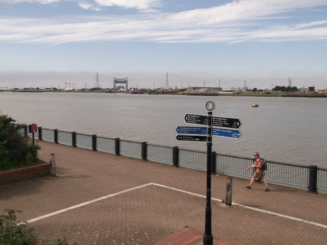
Image: © David Anstiss Taken: 21 Aug 2011
The long distance footpath and cyclepath head along the river wall (of River Thames) between Thamesmead and Royal Arsenal, Woolwich. In the background is Creekmouth in Barking.
Images are licensed for reuse under creativecommons.org/licenses/by-sa/2.0
Image Location
Latitude
51.509809
Longitude
0.111543