The Monarch's Way heads uphill
Introduction
The photograph on this page of The Monarch's Way heads uphill by David Purchase as part of the Geograph project.
The Geograph project started in 2005 with the aim of publishing, organising and preserving representative images for every square kilometre of Great Britain, Ireland and the Isle of Man.

There are currently over 7.5m images from over 14,400 individuals and you can help contribute to the project by visiting https://www.geograph.org.uk
The Monarch's Way heads uphill
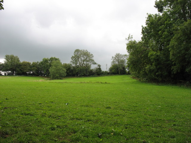
Image: © David Purchase Taken: 24 Aug 2011
A Right of Way, indistinct here, forms part of the Monarch's Way Long Distance Path which is 610 miles in total! At this point it climbs more steeply than the photo might suggest.
Images are licensed for reuse under creativecommons.org/licenses/by-sa/2.0
Image Location
Latitude
51.293024
Longitude
-2.637137