Cattle and farmland near the Miners' Arms crossroads
Introduction
The photograph on this page of Cattle and farmland near the Miners' Arms crossroads by David Purchase as part of the Geograph project.
The Geograph project started in 2005 with the aim of publishing, organising and preserving representative images for every square kilometre of Great Britain, Ireland and the Isle of Man.

There are currently over 7.5m images from over 14,400 individuals and you can help contribute to the project by visiting https://www.geograph.org.uk
Cattle and farmland near the Miners' Arms crossroads
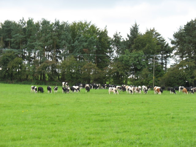
Image: © David Purchase Taken: 24 Aug 2011
Over 40 years ago I recall the Miners' Arms as a rather good restaurant (at a time when such things were much rarer than they are now!). But it has long since become a private house, and the name "Miners' Arms" is no longer used - except on the road signs at the crossroads, and the Ordnance Survey map!
Images are licensed for reuse under creativecommons.org/licenses/by-sa/2.0
Image Location


Leaflet Map data © OpenStreetMap
Latitude
51.267634
Longitude
-2.659289