Farm buildings at Sunnyhill
Introduction
The photograph on this page of Farm buildings at Sunnyhill by Phil Catterall as part of the Geograph project.
The Geograph project started in 2005 with the aim of publishing, organising and preserving representative images for every square kilometre of Great Britain, Ireland and the Isle of Man.

There are currently over 7.5m images from over 14,400 individuals and you can help contribute to the project by visiting https://www.geograph.org.uk
Farm buildings at Sunnyhill
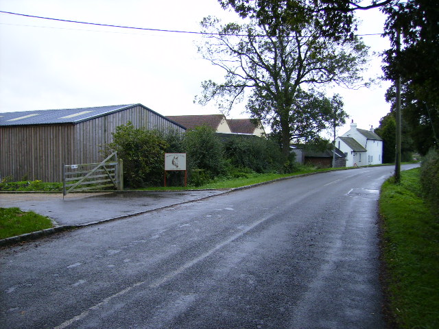
Image: © Phil Catterall Taken: 6 Oct 2006
Most of the farms and land around here seem to have been put over to equestrian use.
Images are licensed for reuse under creativecommons.org/licenses/by-sa/2.0
Image Location
Latitude
51.974648
Longitude
-0.860054