St Mary's Cemetery, N Nantwich
Introduction
The photograph on this page of St Mary's Cemetery, N Nantwich by Espresso Addict as part of the Geograph project.
The Geograph project started in 2005 with the aim of publishing, organising and preserving representative images for every square kilometre of Great Britain, Ireland and the Isle of Man.

There are currently over 7.5m images from over 14,400 individuals and you can help contribute to the project by visiting https://www.geograph.org.uk
St Mary's Cemetery, N Nantwich
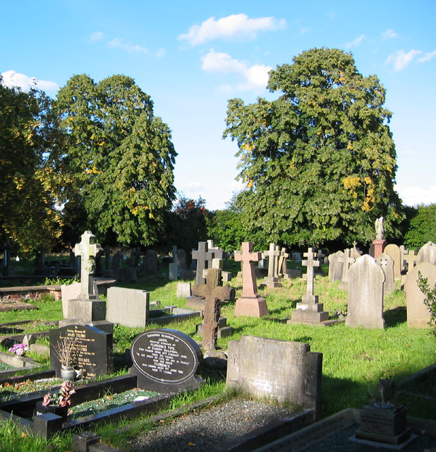
Image: © Espresso Addict Taken: 9 Oct 2006
The older of two cemeteries in Nantwich, St Mary's has graves dating from the late 1840s. According to the groundsman, the cemetery was formerly known as Fingerpost Field, and it was opened to cope with cholera epidemics of the 1840s. This view is towards the eastern boundary
Images are licensed for reuse under creativecommons.org/licenses/by-sa/2.0
Image Location


Leaflet Map data © OpenStreetMap
Latitude
53.074901
Longitude
-2.517901