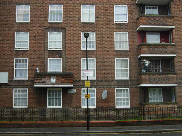
Pembury Estate
Introduction
The photograph on this page of Pembury Estate by Stephen McKay as part of the Geograph project.
The Geograph project started in 2005 with the aim of publishing, organising and preserving representative images for every square kilometre of Great Britain, Ireland and the Isle of Man.
There are currently over 7.5m images from over 14,400 individuals and you can help contribute to the project by visiting https://www.geograph.org.uk

Image: © Stephen McKay Taken: 23 Aug 2011
The Pembury Estate, a small part of which facing Clarence Road is seen here, was developed from the 1930s by London County Council. It eventually passed to Hackney Borough Council and in 2000 to the Peabody Trust. A fortnight before this photograph was taken the estate achieved notoriety in the national press as the epicentre of the wave of rioting and looting that struck the Hackney area and subsequently spread to other parts of London and to other cities.

