The Masons Arms, Lower Odcombe
Introduction
The photograph on this page of The Masons Arms, Lower Odcombe by Steve Barnes as part of the Geograph project.
The Geograph project started in 2005 with the aim of publishing, organising and preserving representative images for every square kilometre of Great Britain, Ireland and the Isle of Man.

There are currently over 7.5m images from over 14,400 individuals and you can help contribute to the project by visiting https://www.geograph.org.uk
The Masons Arms, Lower Odcombe
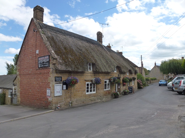
Image: © Steve Barnes Taken: 21 Aug 2011
A thriving pub after nearly closing in 2005. Also has a Caravan Park to the rear.
Images are licensed for reuse under creativecommons.org/licenses/by-sa/2.0
Image Location
Latitude
50.939816
Longitude
-2.699188