Approach to Pedmore
Introduction
The photograph on this page of Approach to Pedmore by Gordon Griffiths as part of the Geograph project.
The Geograph project started in 2005 with the aim of publishing, organising and preserving representative images for every square kilometre of Great Britain, Ireland and the Isle of Man.

There are currently over 7.5m images from over 14,400 individuals and you can help contribute to the project by visiting https://www.geograph.org.uk
Approach to Pedmore
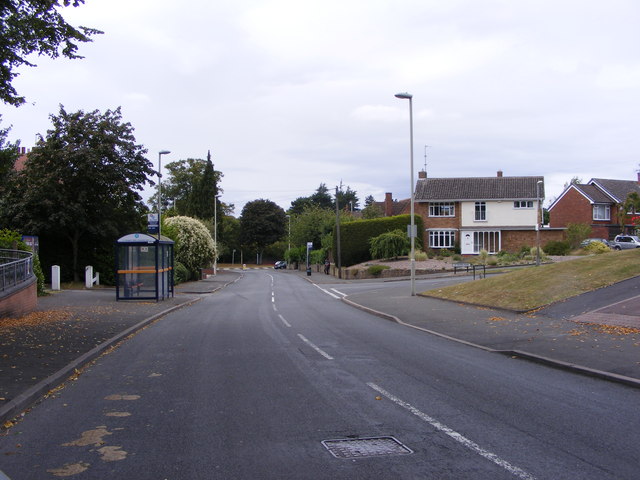
Image: © Gordon Griffiths Taken: 20 Aug 2011
The view down Pedmore Lane towards the A491 Island.
Images are licensed for reuse under creativecommons.org/licenses/by-sa/2.0
Image Location
Latitude
52.438238
Longitude
-2.132053