South end of Cope's Rough
Introduction
The photograph on this page of South end of Cope's Rough by Robin Stott as part of the Geograph project.
The Geograph project started in 2005 with the aim of publishing, organising and preserving representative images for every square kilometre of Great Britain, Ireland and the Isle of Man.

There are currently over 7.5m images from over 14,400 individuals and you can help contribute to the project by visiting https://www.geograph.org.uk
South end of Cope's Rough
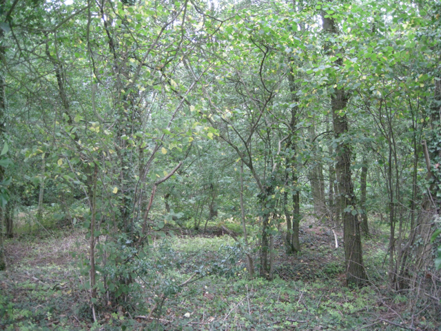
Image: © Robin Stott Taken: 14 Aug 2011
This northern part of the wood, contains a brook that feeds a number of ponds. As in southern Arden, this part of the north Arden countryside is dotted with small irregular pieces of woodland. Across Boulters Lane, behind the camera, is a static caravan park.
Images are licensed for reuse under creativecommons.org/licenses/by-sa/2.0
Image Location
Latitude
52.58256
Longitude
-1.629519