Main Road, Chattenden
Introduction
The photograph on this page of Main Road, Chattenden by Stephen McKay as part of the Geograph project.
The Geograph project started in 2005 with the aim of publishing, organising and preserving representative images for every square kilometre of Great Britain, Ireland and the Isle of Man.

There are currently over 7.5m images from over 14,400 individuals and you can help contribute to the project by visiting https://www.geograph.org.uk
Main Road, Chattenden
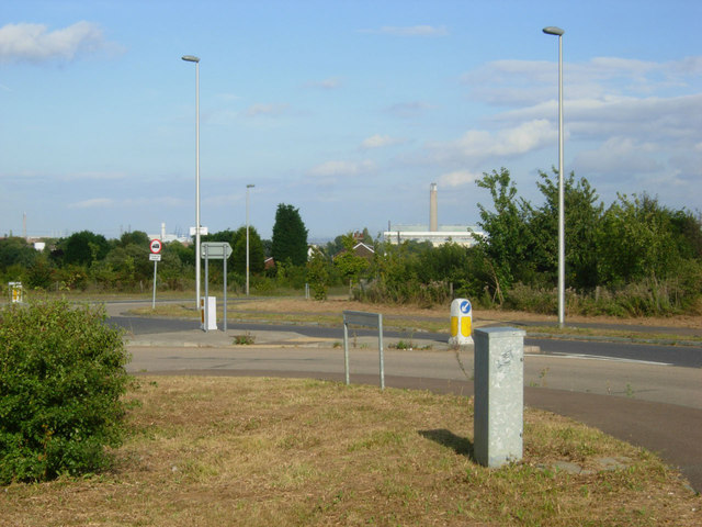
Image: © Stephen McKay Taken: 16 Aug 2011
At the eastern end of Chattenden village Main Road curls round to the roundabout here before continuing to Hoo St Werburgh or giving access to the A228. The chimney at Grain Power Station can be seen in the distance.
Images are licensed for reuse under creativecommons.org/licenses/by-sa/2.0
Image Location
Latitude
51.419515
Longitude
0.537875