Brick building, Goathurst Common
Introduction
The photograph on this page of Brick building, Goathurst Common by Robin Webster as part of the Geograph project.
The Geograph project started in 2005 with the aim of publishing, organising and preserving representative images for every square kilometre of Great Britain, Ireland and the Isle of Man.

There are currently over 7.5m images from over 14,400 individuals and you can help contribute to the project by visiting https://www.geograph.org.uk
Brick building, Goathurst Common
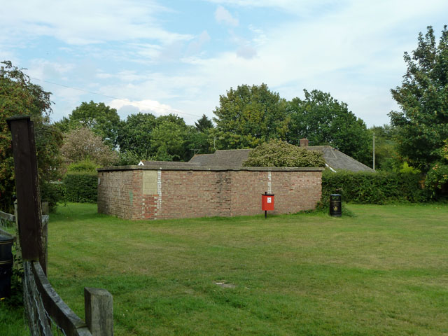
Image: © Robin Webster Taken: 19 Aug 2011
In the corner of the recreation ground, this structure seems to pre-date the use of this field for recreation. It has bricked-up openings on this side and has an air of being a WWII building - an air-raid shelter?
Images are licensed for reuse under creativecommons.org/licenses/by-sa/2.0
Image Location
Latitude
51.247756
Longitude
0.141071