Epsom United Reformed Church
Introduction
The photograph on this page of Epsom United Reformed Church by Bill Boaden as part of the Geograph project.
The Geograph project started in 2005 with the aim of publishing, organising and preserving representative images for every square kilometre of Great Britain, Ireland and the Isle of Man.

There are currently over 7.5m images from over 14,400 individuals and you can help contribute to the project by visiting https://www.geograph.org.uk
Epsom United Reformed Church
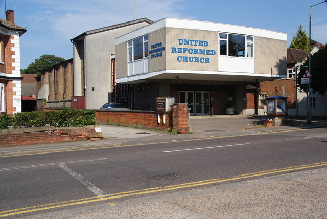
Image: © Bill Boaden Taken: 1 Aug 2011
This is on Church Street, but the street was named after St Martin's rather than this.
Images are licensed for reuse under creativecommons.org/licenses/by-sa/2.0
Image Location
Latitude
51.332303
Longitude
-0.261392