Pete's Fish Bar
Introduction
The photograph on this page of Pete's Fish Bar by Alan Murray-Rust as part of the Geograph project.
The Geograph project started in 2005 with the aim of publishing, organising and preserving representative images for every square kilometre of Great Britain, Ireland and the Isle of Man.

There are currently over 7.5m images from over 14,400 individuals and you can help contribute to the project by visiting https://www.geograph.org.uk
Pete's Fish Bar
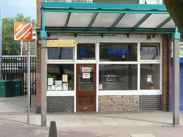
Image: © Alan Murray-Rust Taken: 14 Aug 2011
The real reason for taking this shot was to include the pre-Worboys style of sign for the Public Conveniences (still in existence, but currently closed) http://www.geograph.org.uk/photo/2559218.
Images are licensed for reuse under creativecommons.org/licenses/by-sa/2.0
Image Location
Latitude
53.037433
Longitude
-1.082185