Houses on Collyer Road
Introduction
The photograph on this page of Houses on Collyer Road by Alan Murray-Rust as part of the Geograph project.
The Geograph project started in 2005 with the aim of publishing, organising and preserving representative images for every square kilometre of Great Britain, Ireland and the Isle of Man.

There are currently over 7.5m images from over 14,400 individuals and you can help contribute to the project by visiting https://www.geograph.org.uk
Houses on Collyer Road
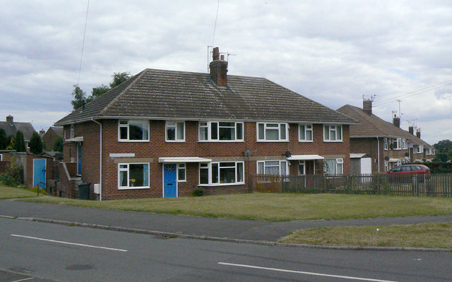
Image: © Alan Murray-Rust Taken: 14 Aug 2011
Part of the western block of development of Calverton as a colliery village in the 1950s. These examples appear to be more substantial than most, with a double-front appearance. However the side door gives the game away - these are in fact maisonettes, each confined to a single storey.
Images are licensed for reuse under creativecommons.org/licenses/by-sa/2.0
Image Location
Latitude
53.040574
Longitude
-1.093155