Landscape near Calverton
Introduction
The photograph on this page of Landscape near Calverton by Alan Murray-Rust as part of the Geograph project.
The Geograph project started in 2005 with the aim of publishing, organising and preserving representative images for every square kilometre of Great Britain, Ireland and the Isle of Man.

There are currently over 7.5m images from over 14,400 individuals and you can help contribute to the project by visiting https://www.geograph.org.uk
Landscape near Calverton
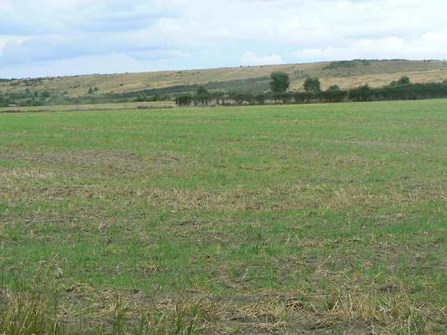
Image: © Alan Murray-Rust Taken: 14 Aug 2011
Now more rural than it used to be - the high ground in the background is the landscaped spoilheap of the former Calverton Colliery.
Images are licensed for reuse under creativecommons.org/licenses/by-sa/2.0
Image Location
Latitude
53.043528
Longitude
-1.091601