Hornets RFC, Weston-Super-Mare
Introduction
The photograph on this page of Hornets RFC, Weston-Super-Mare by Derek Harper as part of the Geograph project.
The Geograph project started in 2005 with the aim of publishing, organising and preserving representative images for every square kilometre of Great Britain, Ireland and the Isle of Man.

There are currently over 7.5m images from over 14,400 individuals and you can help contribute to the project by visiting https://www.geograph.org.uk
Hornets RFC, Weston-Super-Mare
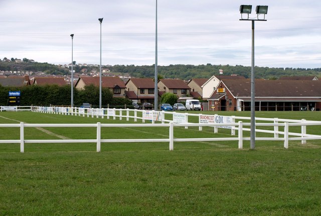
Image: © Derek Harper Taken: 10 Aug 2011
A corner of the rugby ground, with the club house in the background, plus houses on Puttingthorpe Drive.
Images are licensed for reuse under creativecommons.org/licenses/by-sa/2.0
Image Location
Latitude
51.345336
Longitude
-2.946127