Military road, Deepcut
Introduction
The photograph on this page of Military road, Deepcut by Alan Hunt as part of the Geograph project.
The Geograph project started in 2005 with the aim of publishing, organising and preserving representative images for every square kilometre of Great Britain, Ireland and the Isle of Man.

There are currently over 7.5m images from over 14,400 individuals and you can help contribute to the project by visiting https://www.geograph.org.uk
Military road, Deepcut
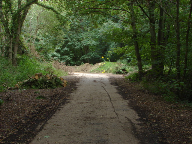
Image: © Alan Hunt Taken: 14 Aug 2011
A road, much favoured by fly tippers which runs from Deepcut Bridge Road towards a transport depot attached to Deepcut Barracks.
Images are licensed for reuse under creativecommons.org/licenses/by-sa/2.0
Image Location
Latitude
51.302556
Longitude
-0.707509