Cherrywood Lane
Introduction
The photograph on this page of Cherrywood Lane by Bill Boaden as part of the Geograph project.
The Geograph project started in 2005 with the aim of publishing, organising and preserving representative images for every square kilometre of Great Britain, Ireland and the Isle of Man.

There are currently over 7.5m images from over 14,400 individuals and you can help contribute to the project by visiting https://www.geograph.org.uk
Cherrywood Lane
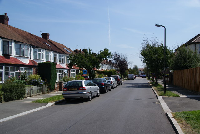
Image: © Bill Boaden Taken: 1 Aug 2011
A residential area opposite Cannon Hill Common. There is supposed to be a chapel around here but I didn't find it.
Images are licensed for reuse under creativecommons.org/licenses/by-sa/2.0
Image Location
Latitude
51.401317
Longitude
-0.216221