Cycle path and ramp west of St Werburgh's Road Metrolink station, Chorlton
Introduction
The photograph on this page of Cycle path and ramp west of St Werburgh's Road Metrolink station, Chorlton by Phil Champion as part of the Geograph project.
The Geograph project started in 2005 with the aim of publishing, organising and preserving representative images for every square kilometre of Great Britain, Ireland and the Isle of Man.

There are currently over 7.5m images from over 14,400 individuals and you can help contribute to the project by visiting https://www.geograph.org.uk
Cycle path and ramp west of St Werburgh's Road Metrolink station, Chorlton
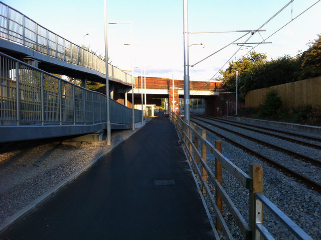
Image: © Phil Champion Taken: 4 Aug 2011
The section of cycle path along the disused railway trackbed west of the St Werburgh's Road bridge has been moved sideways to accommodate the tram lines, and a very long ramp constructed to provide disable access between platform and road level. I would imagine most wheelchair users would use the lift instead.
Images are licensed for reuse under creativecommons.org/licenses/by-sa/2.0
Image Location
Latitude
53.439594
Longitude
-2.267767