Lydd Airport (London-Ashford)
Introduction
The photograph on this page of Lydd Airport (London-Ashford) by Brian Chadwick as part of the Geograph project.
The Geograph project started in 2005 with the aim of publishing, organising and preserving representative images for every square kilometre of Great Britain, Ireland and the Isle of Man.

There are currently over 7.5m images from over 14,400 individuals and you can help contribute to the project by visiting https://www.geograph.org.uk
Lydd Airport (London-Ashford)
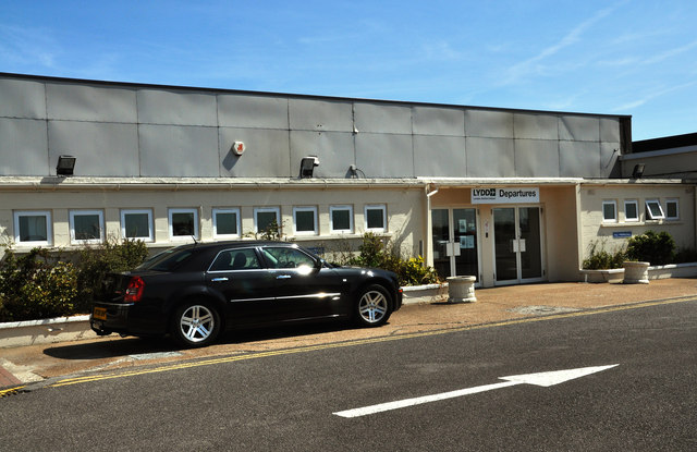
Image: © Brian Chadwick Taken: 12 Aug 2011
Lydd Airport is located 2.2 km; (1.4 miles) northeast of the town of Lydd and 22 km; 14 miles south of Ashford in the District of Shepway within Kent. It is also known as London Ashford Airport. Lydd Airport was the first airport built in the UK after the Second World War, in 1956. It was used initially for air ferry services, and was known as Lydd Ferryfield. The airlines operating at that time included Silver City Airways (operating Douglas Dakotas) and British United Air Ferries (BUAF) – later becoming British United Airways, (BUA) – which flew Bristol Freighters, Superfreighters and Aviation Traders Carvair aircraft, the latter three types being used for transporting cars and their occupants across the English Channel. One common destination was Le Touquet.
Images are licensed for reuse under creativecommons.org/licenses/by-sa/2.0
Image Location


Leaflet Map data © OpenStreetMap
Latitude
50.954162
Longitude
0.933654