Fenced in
Introduction
The photograph on this page of Fenced in by Barry Ephgrave as part of the Geograph project.
The Geograph project started in 2005 with the aim of publishing, organising and preserving representative images for every square kilometre of Great Britain, Ireland and the Isle of Man.

There are currently over 7.5m images from over 14,400 individuals and you can help contribute to the project by visiting https://www.geograph.org.uk
Fenced in
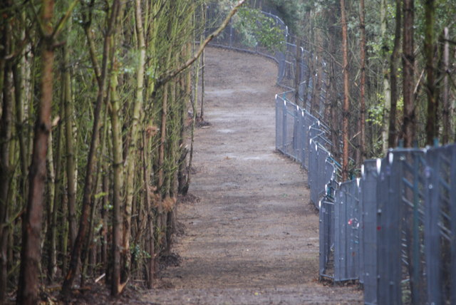
Image: © Barry Ephgrave Taken: 13 Aug 2011
Part of the new bridlepath running between Fordfield Road and the new Center Parcs. Heras fencing to be replaced with a 2m high green fence complete with three rows of barbed wire.
Images are licensed for reuse under creativecommons.org/licenses/by-sa/2.0
Image Location
Latitude
52.025942
Longitude
-0.523952