Shepherds Bush
Introduction
The photograph on this page of Shepherds Bush by Rosalind Mitchell as part of the Geograph project.
The Geograph project started in 2005 with the aim of publishing, organising and preserving representative images for every square kilometre of Great Britain, Ireland and the Isle of Man.

There are currently over 7.5m images from over 14,400 individuals and you can help contribute to the project by visiting https://www.geograph.org.uk
Shepherds Bush
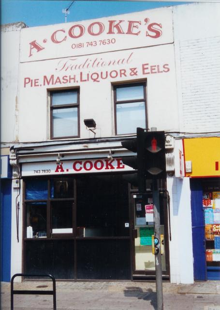
Image: © Rosalind Mitchell Taken: Unknown
Goldhawk Road is the centre of a gritty, working-class district and lined with traditional shops like this pie and mash outlet adjacent to Goldhawk Road tube station.
Images are licensed for reuse under creativecommons.org/licenses/by-sa/2.0
Image Location


Leaflet Map data © OpenStreetMap
Latitude
51.501041
Longitude
-0.227891