Apples by the Axbridge bypass
Introduction
The photograph on this page of Apples by the Axbridge bypass by Derek Harper as part of the Geograph project.
The Geograph project started in 2005 with the aim of publishing, organising and preserving representative images for every square kilometre of Great Britain, Ireland and the Isle of Man.

There are currently over 7.5m images from over 14,400 individuals and you can help contribute to the project by visiting https://www.geograph.org.uk
Apples by the Axbridge bypass
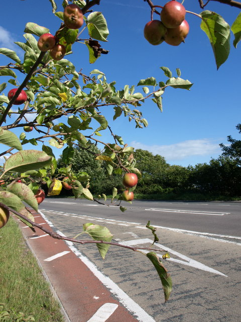
Image: © Derek Harper Taken: 9 Aug 2011
The slip road from the roundabout at the west end of Axbridge joins the A371, which is following the old railway line. Those apples look tempting, but it's not the best of healthy growing environments.
Images are licensed for reuse under creativecommons.org/licenses/by-sa/2.0
Image Location


Leaflet Map data © OpenStreetMap
Latitude
51.288373
Longitude
-2.820912