2011 : A4175 down Teewell Hill, Staple Hill
Introduction
The photograph on this page of 2011 : A4175 down Teewell Hill, Staple Hill by Maurice Pullin as part of the Geograph project.
The Geograph project started in 2005 with the aim of publishing, organising and preserving representative images for every square kilometre of Great Britain, Ireland and the Isle of Man.

There are currently over 7.5m images from over 14,400 individuals and you can help contribute to the project by visiting https://www.geograph.org.uk
2011 : A4175 down Teewell Hill, Staple Hill
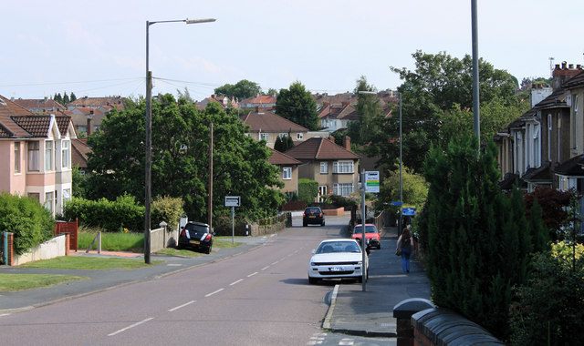
Image: © Maurice Pullin Taken: 2 Aug 2011
A disused railway bridge at the bottom crosses the disused Midland Railway line out of Bristol to Mangotsfield - now a cycleway.
Images are licensed for reuse under creativecommons.org/licenses/by-sa/2.0
Image Location
Latitude
51.479101
Longitude
-2.499762