Lanehouse Rocks Road
Introduction
The photograph on this page of Lanehouse Rocks Road by Andy Potter as part of the Geograph project.
The Geograph project started in 2005 with the aim of publishing, organising and preserving representative images for every square kilometre of Great Britain, Ireland and the Isle of Man.

There are currently over 7.5m images from over 14,400 individuals and you can help contribute to the project by visiting https://www.geograph.org.uk
Lanehouse Rocks Road
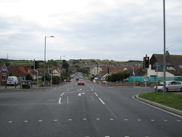
Image: © Andy Potter Taken: 24 Jul 2011
Seen from the traffic light controlled junction with Lynch Lane. The buildings at the top of the hill are at the edge of Wyke Regis separated by a single field from Lanehouse.
Images are licensed for reuse under creativecommons.org/licenses/by-sa/2.0
Image Location
Latitude
50.607275
Longitude
-2.485093