Royston Crescent houses, Newport
Introduction
The photograph on this page of Royston Crescent houses, Newport by Jaggery as part of the Geograph project.
The Geograph project started in 2005 with the aim of publishing, organising and preserving representative images for every square kilometre of Great Britain, Ireland and the Isle of Man.

There are currently over 7.5m images from over 14,400 individuals and you can help contribute to the project by visiting https://www.geograph.org.uk
Royston Crescent houses, Newport
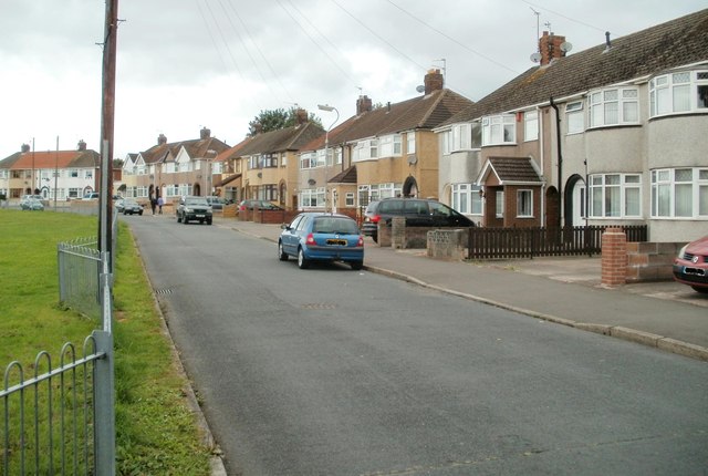
Image: © Jaggery Taken: 10 Aug 2011
The houses in Royston Crescent are all on one side of the road. The other side is the edge of a children's fenced play area. http://www.geograph.org.uk/photo/2548862
Images are licensed for reuse under creativecommons.org/licenses/by-sa/2.0
Image Location
Latitude
51.582465
Longitude
-2.955375