Afon Teifi and hillside west of Pont Gogoyan, Ceredigion
Introduction
The photograph on this page of Afon Teifi and hillside west of Pont Gogoyan, Ceredigion by Roger D Kidd as part of the Geograph project.
The Geograph project started in 2005 with the aim of publishing, organising and preserving representative images for every square kilometre of Great Britain, Ireland and the Isle of Man.

There are currently over 7.5m images from over 14,400 individuals and you can help contribute to the project by visiting https://www.geograph.org.uk
Afon Teifi and hillside west of Pont Gogoyan, Ceredigion
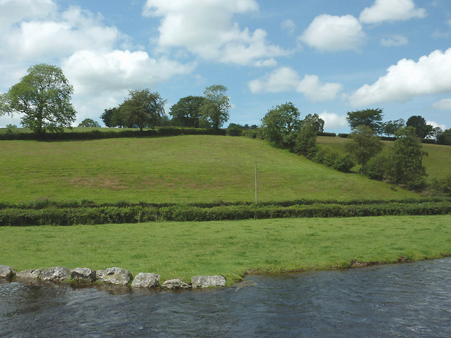
Image: © Roger D Kidd Taken: 20 Jul 2011
Seen from the middle of the bridge, the river flows from right to left. The water level is above normal because of the three rainy days preceding the day of the image. Behind the hedge is the lane to Cockshead (right) and Llanfair Clydogau (left).
Images are licensed for reuse under creativecommons.org/licenses/by-sa/2.0
Image Location
Latitude
52.172044
Longitude
-3.988924