High Street, Staithes
Introduction
The photograph on this page of High Street, Staithes by Dave Hitchborne as part of the Geograph project.
The Geograph project started in 2005 with the aim of publishing, organising and preserving representative images for every square kilometre of Great Britain, Ireland and the Isle of Man.

There are currently over 7.5m images from over 14,400 individuals and you can help contribute to the project by visiting https://www.geograph.org.uk
High Street, Staithes
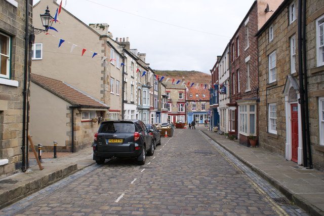
Image: © Dave Hitchborne Taken: 9 Aug 2011
Just a short walk down this cobbled street is a walk-through, left, which leads to the Staithes Beck, over which is a bridge leading to Cowbar Lane. Cowbar Lane leads to the harbour entrance and beach. Alternately you can follow the road to the right and take in the shops before heading out to the eastern side of the harbour, off Seaton Garth. The backdrop is the Cowbar Nab.
Images are licensed for reuse under creativecommons.org/licenses/by-sa/2.0
Image Location
Latitude
54.558679
Longitude
-0.792744