Sunken way near Blacktar Point
Introduction
The photograph on this page of Sunken way near Blacktar Point by Jeremy Bolwell as part of the Geograph project.
The Geograph project started in 2005 with the aim of publishing, organising and preserving representative images for every square kilometre of Great Britain, Ireland and the Isle of Man.

There are currently over 7.5m images from over 14,400 individuals and you can help contribute to the project by visiting https://www.geograph.org.uk
Sunken way near Blacktar Point
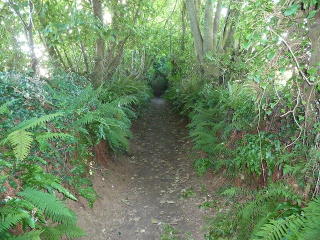
Image: © Jeremy Bolwell Taken: 9 Aug 2011
Probably a very old route between Llangwm village and the point.
Images are licensed for reuse under creativecommons.org/licenses/by-sa/2.0
Image Location
Latitude
51.747609
Longitude
-4.901688