View down Gay Street #2
Introduction
The photograph on this page of View down Gay Street #2 by Robert Lamb as part of the Geograph project.
The Geograph project started in 2005 with the aim of publishing, organising and preserving representative images for every square kilometre of Great Britain, Ireland and the Isle of Man.

There are currently over 7.5m images from over 14,400 individuals and you can help contribute to the project by visiting https://www.geograph.org.uk
View down Gay Street #2
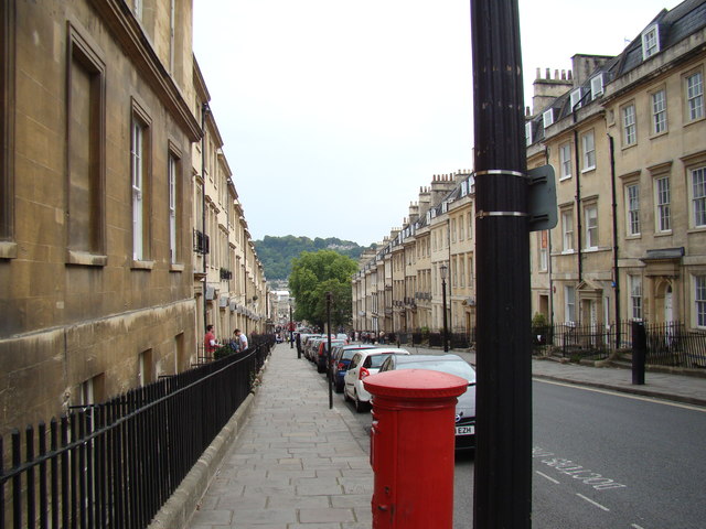
Image: © Robert Lamb Taken: 31 Jul 2011
This time taken from the very top of the hill, at the junction with The Circus, showing the tree-covered hill in the far distance. Looking south-southeast.
Images are licensed for reuse under creativecommons.org/licenses/by-sa/2.0
Image Location
Latitude
51.383483
Longitude
-2.363213