Development site, Holywood
Introduction
The photograph on this page of Development site, Holywood by Albert Bridge as part of the Geograph project.
The Geograph project started in 2005 with the aim of publishing, organising and preserving representative images for every square kilometre of Great Britain, Ireland and the Isle of Man.

There are currently over 7.5m images from over 14,400 individuals and you can help contribute to the project by visiting https://www.geograph.org.uk
Development site, Holywood
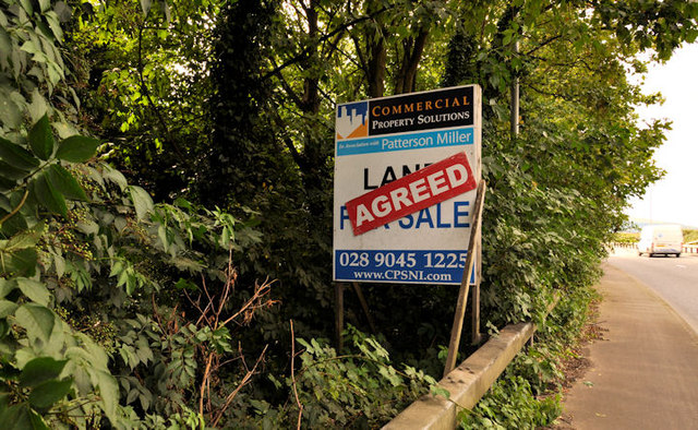
Image: © Albert Bridge Taken: 9 Aug 2011
A development site, between the Bangor Road and the bypass Image, with an “agreed” sign. Note: this photograph appears as a matter of geographical record only. I have no connection with any of the parties involved in the sale and have no views on any application (present or proposed) for planning permission.
Images are licensed for reuse under creativecommons.org/licenses/by-sa/2.0
Image Location
Latitude
54.644769
Longitude
-5.827888