Date stone in the Grade II listed former Ty Coch farmhouse, Cwmbran
Introduction
The photograph on this page of Date stone in the Grade II listed former Ty Coch farmhouse, Cwmbran by Jaggery as part of the Geograph project.
The Geograph project started in 2005 with the aim of publishing, organising and preserving representative images for every square kilometre of Great Britain, Ireland and the Isle of Man.

There are currently over 7.5m images from over 14,400 individuals and you can help contribute to the project by visiting https://www.geograph.org.uk
Date stone in the Grade II listed former Ty Coch farmhouse, Cwmbran
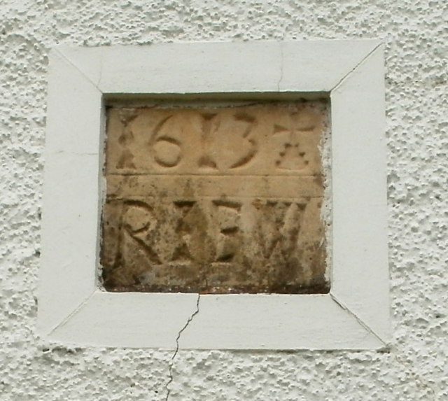
Image: © Jaggery Taken: 9 Aug 2011
The stone in the front of the building http://www.geograph.org.uk/photo/2545652 shows 1613 RIEW.
Images are licensed for reuse under creativecommons.org/licenses/by-sa/2.0
Image Location
Latitude
51.633198
Longitude
-3.017125