Rake House Farm
Introduction
The photograph on this page of Rake House Farm by Richard Dorrell as part of the Geograph project.
The Geograph project started in 2005 with the aim of publishing, organising and preserving representative images for every square kilometre of Great Britain, Ireland and the Isle of Man.

There are currently over 7.5m images from over 14,400 individuals and you can help contribute to the project by visiting https://www.geograph.org.uk
Rake House Farm
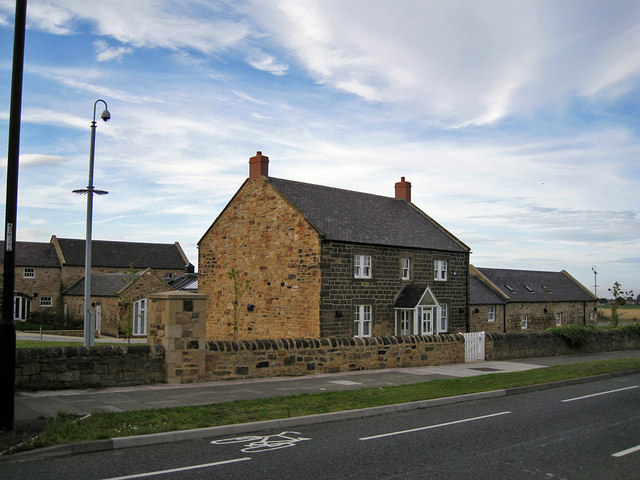
Image: © Richard Dorrell Taken: 2 Aug 2011
Located in Rake Lane, North Shields. The original stone farm buildings have been converted to provide modern open plan office accommodation. When photographed by Microkomputer in 2005, the buildings were completely derelict (see Image]).
Images are licensed for reuse under creativecommons.org/licenses/by-sa/2.0
Image Location
Latitude
55.025906
Longitude
-1.47157