Patchy germination
Introduction
The photograph on this page of Patchy germination by Robin Stott as part of the Geograph project.
The Geograph project started in 2005 with the aim of publishing, organising and preserving representative images for every square kilometre of Great Britain, Ireland and the Isle of Man.

There are currently over 7.5m images from over 14,400 individuals and you can help contribute to the project by visiting https://www.geograph.org.uk
Patchy germination
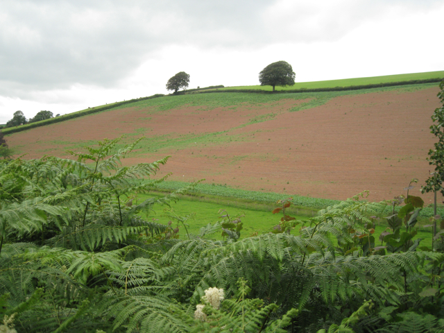
Image: © Robin Stott Taken: 19 Jul 2011
Three boundaries have been removed to form this one field on the north side of the valley of the river Wash. The view is from the lane to Lower Washbourne from Tuckenhay and Cornworthy. The lop-sided tree on the skyline, left of centre, is also seen in Image
Images are licensed for reuse under creativecommons.org/licenses/by-sa/2.0
Image Location
Latitude
50.38728
Longitude
-3.6774