Brixworth cross and The Granary
Introduction
The photograph on this page of Brixworth cross and The Granary by Alan Murray-Rust as part of the Geograph project.
The Geograph project started in 2005 with the aim of publishing, organising and preserving representative images for every square kilometre of Great Britain, Ireland and the Isle of Man.

There are currently over 7.5m images from over 14,400 individuals and you can help contribute to the project by visiting https://www.geograph.org.uk
Brixworth cross and The Granary
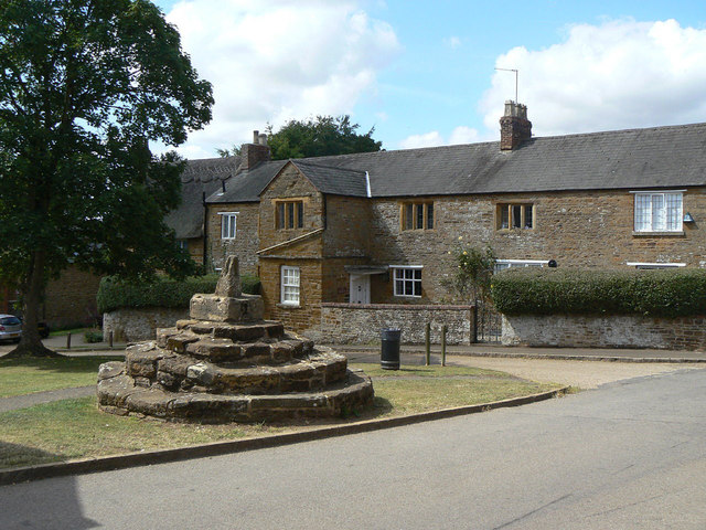
Image: © Alan Murray-Rust Taken: 2 Aug 2011
The cross dates from the 16th century and retains only the bottom of the shaft. The house behind - The Granary - dates from the 17th century with later additions, having probably originally been several dwellings. Both house and cross are Listed Grade II.
Images are licensed for reuse under creativecommons.org/licenses/by-sa/2.0
Image Location
Latitude
52.332908
Longitude
-0.904728