Cutler's Farm from the west
Introduction
The photograph on this page of Cutler's Farm from the west by David Stowell as part of the Geograph project.
The Geograph project started in 2005 with the aim of publishing, organising and preserving representative images for every square kilometre of Great Britain, Ireland and the Isle of Man.

There are currently over 7.5m images from over 14,400 individuals and you can help contribute to the project by visiting https://www.geograph.org.uk
Cutler's Farm from the west
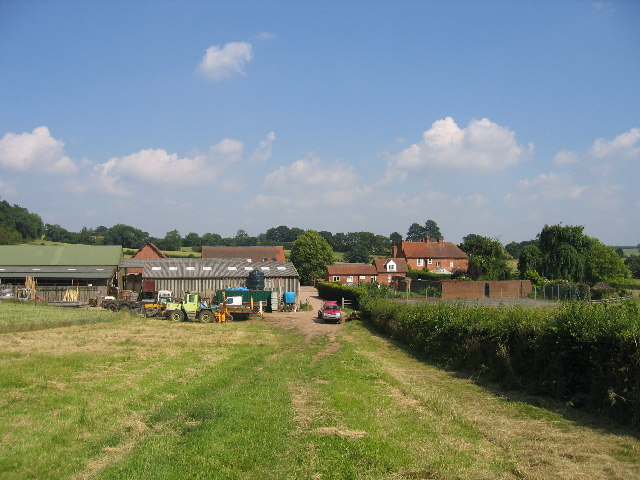
Image: © David Stowell Taken: 9 Jul 2005
The Monarch's Way footpath heads straight ahead through the farmyard and turns to the right and heads south to Edstone.
Images are licensed for reuse under creativecommons.org/licenses/by-sa/2.0
Image Location


Leaflet Map data © OpenStreetMap
Latitude
52.263079
Longitude
-1.740612