Stable Block, Beningbrough
Introduction
The photograph on this page of Stable Block, Beningbrough by Derek Harper as part of the Geograph project.
The Geograph project started in 2005 with the aim of publishing, organising and preserving representative images for every square kilometre of Great Britain, Ireland and the Isle of Man.

There are currently over 7.5m images from over 14,400 individuals and you can help contribute to the project by visiting https://www.geograph.org.uk
Stable Block, Beningbrough
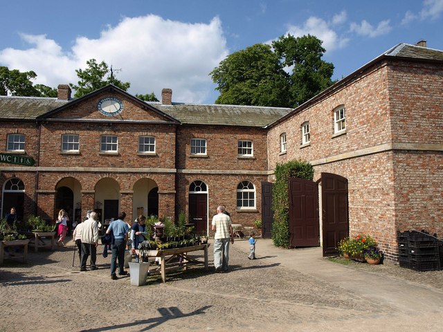
Image: © Derek Harper Taken: 30 Jul 2011
The main block is C18; the wings, of which the eastern is shown on the right, are C19 http://www.britishlistedbuildings.co.uk/en-332103-stable-block-to-north-of-kitchen-garden- .
Images are licensed for reuse under creativecommons.org/licenses/by-sa/2.0
Image Location
Latitude
54.020631
Longitude
-1.210721