Sandford, footpath
Introduction
The photograph on this page of Sandford, footpath by Mike Faherty as part of the Geograph project.
The Geograph project started in 2005 with the aim of publishing, organising and preserving representative images for every square kilometre of Great Britain, Ireland and the Isle of Man.

There are currently over 7.5m images from over 14,400 individuals and you can help contribute to the project by visiting https://www.geograph.org.uk
Sandford, footpath
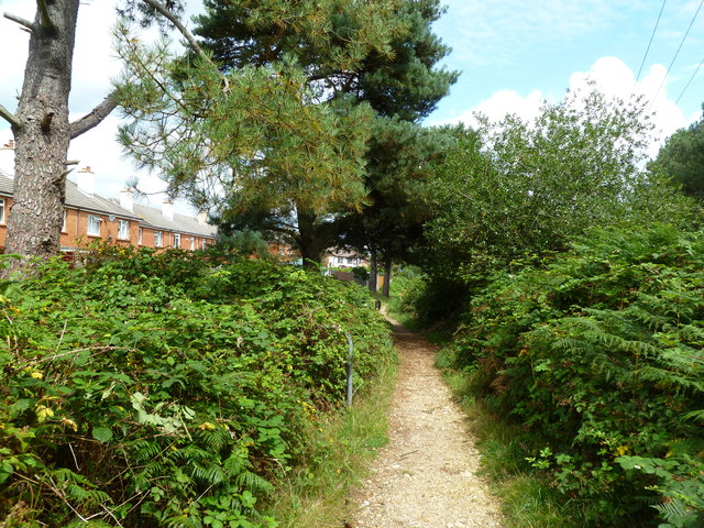
Image: © Mike Faherty Taken: 6 Aug 2011
From Sandford to Holton Heath, with housing to the left, and woodland to the right. The path is known as "Roman Road"; an archaeological investigation is shortly due to investigate whether this name is correct.
Images are licensed for reuse under creativecommons.org/licenses/by-sa/2.0
Image Location
Latitude
50.706989
Longitude
-2.093415