Farmland north-east of Stags Head, Ceredigion
Introduction
The photograph on this page of Farmland north-east of Stags Head, Ceredigion by Roger D Kidd as part of the Geograph project.
The Geograph project started in 2005 with the aim of publishing, organising and preserving representative images for every square kilometre of Great Britain, Ireland and the Isle of Man.

There are currently over 7.5m images from over 14,400 individuals and you can help contribute to the project by visiting https://www.geograph.org.uk
Farmland north-east of Stags Head, Ceredigion
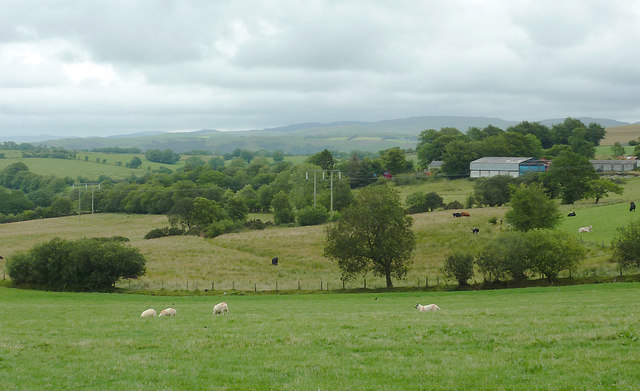
Image: © Roger D Kidd Taken: 19 Jul 2011
This image shows the pastoral landscape in the area north of Trewaun farm. On the skyline are the moorlands of the Elenydd, including Esgair Ambor, beyond the wide Teifi Valley.
Images are licensed for reuse under creativecommons.org/licenses/by-sa/2.0
Image Location
Latitude
52.22399
Longitude
-3.988873