Holton Heath, Navy building
Introduction
The photograph on this page of Holton Heath, Navy building by Mike Faherty as part of the Geograph project.
The Geograph project started in 2005 with the aim of publishing, organising and preserving representative images for every square kilometre of Great Britain, Ireland and the Isle of Man.

There are currently over 7.5m images from over 14,400 individuals and you can help contribute to the project by visiting https://www.geograph.org.uk
Holton Heath, Navy building
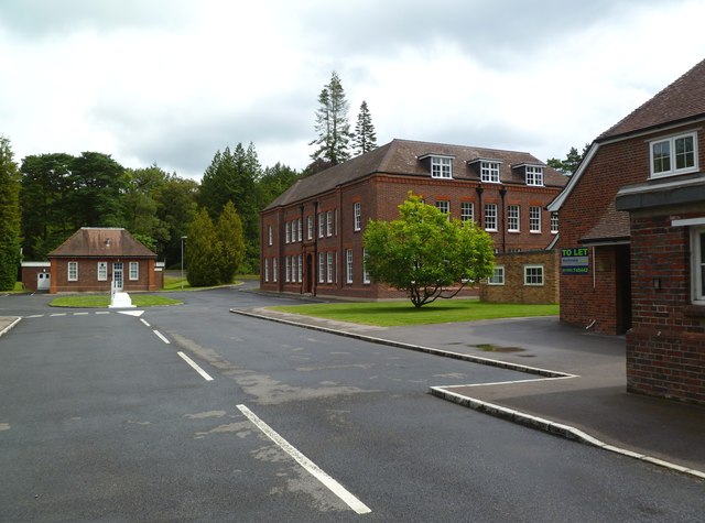
Image: © Mike Faherty Taken: 6 Aug 2011
This appears to be what English Heritage describes as "main offices" at the former Royal Naval Cordite Factory; built 1915. http://www.imagesofengland.org.uk/Details/Default.aspx?id=482490&mode=adv Most of the extensive site is out of bounds and protected by a high-security fence, apparently because of ground contamination and unsafe structures; some is being redeveloped as "Admiralty Park", business and industrial units. http://www.corfe-castle.demon.co.uk/hh.html
Images are licensed for reuse under creativecommons.org/licenses/by-sa/2.0
Image Location
Latitude
50.717699
Longitude
-2.082105