Dun an Sticir
Introduction
The photograph on this page of Dun an Sticir by Richard Laybourne as part of the Geograph project.
The Geograph project started in 2005 with the aim of publishing, organising and preserving representative images for every square kilometre of Great Britain, Ireland and the Isle of Man.

There are currently over 7.5m images from over 14,400 individuals and you can help contribute to the project by visiting https://www.geograph.org.uk
Dun an Sticir
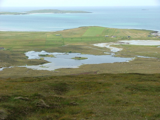
Image: © Richard Laybourne Taken: 5 Aug 2011
The complex of dun and causeways as seen from near the summit of Beinn Bhreac.
Images are licensed for reuse under creativecommons.org/licenses/by-sa/2.0
Image Location
Latitude
57.681459
Longitude
-7.208063