Kenwater Bridge, Leominster
Introduction
The photograph on this page of Kenwater Bridge, Leominster by John S Turner as part of the Geograph project.
The Geograph project started in 2005 with the aim of publishing, organising and preserving representative images for every square kilometre of Great Britain, Ireland and the Isle of Man.

There are currently over 7.5m images from over 14,400 individuals and you can help contribute to the project by visiting https://www.geograph.org.uk
Kenwater Bridge, Leominster
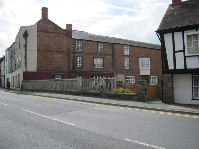
Image: © John S Turner Taken: 2 Aug 2011
Looking across the A44 towards Kenwater Bridge, which was built in 1828 and widened in 1939. The River Kenwater beneath the bridge is a short tributary of the River Lugg that flows a short distance further north. There is a bench mark on the low stone parapet near this end of the railings - Image
Images are licensed for reuse under creativecommons.org/licenses/by-sa/2.0
Image Location


Leaflet Map data © OpenStreetMap
Latitude
52.229847
Longitude
-2.73978